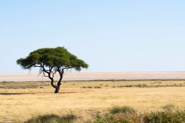
Etosha is the most self-drive-friendly park in Africa alongside Kruger, and the most distinctive in character. The landscape is built around a giant salt pan and a network of waterholes where the wildlife concentrates — so the whole rhythm of the park is different. You do not drive to find animals; you drive between waterholes and wait at them. This guide covers the practical decisions that matter: which gate, the strange fee logistics, how to actually drive the park, where signal exists, and how to navigate when it does not.
Most self-drive trips start in Windhoek. The four gates each serve a different approach and a different camp:
Anderson Gate (south) — the main and
most-used gate, about 5 to 6 hours from Windhoek on the
B1/C38 via Otjiwarongo. Closest to Okaukuejo Camp.
Von Lindequist Gate (east, also called
Namutoni Gate) — the right choice if approaching from
Tsumeb or the Onguma area. Closest to Namutoni Camp.
Galton Gate (west) — quieter and more
remote, closest to Dolomite and Olifantsrus camps. Access has
historically been restricted to guests of those camps;
confirm with your accommodation before relying on it.
King Nehale Lya Mpingana Gate (north) —
the least-used gate, useful if approaching from Ondangwa in
the far north.
This is the single biggest mental adjustment if you have self-driven other parks. In Kruger or the Mara, you drive and look for animals. In Etosha, especially in the dry season, the animals come to known waterholes — and your job is to position yourself at one and wait. Drive between waterholes at the 60 km/h gravel speed limit (slower is usually better for spotting), but the real wildlife viewing happens when you stop, switch off, and watch.
A few practical notes that follow from this. The main camps (Okaukuejo, Halali, Namutoni) each have their own floodlit waterhole inside the camp fence, active through the night — an experience that doesn't exist in any other major African park. Black rhino, lion, and elephant are all regular visitors. If you only stay outside the park, you miss this entirely, which is the strongest case for booking at least one night inside.
One other Etosha quirk: there is no buffalo in the park. You will see lion, elephant, leopard, and the famous Etosha black rhino, so the "Big 4" rather than "Big 5". Mentioning this in case it matters for your trip.
Distances inside the park are larger than they look on the map. The drive from Namutoni in the east to Okaukuejo in the west is roughly 5 hours of slow driving without stops — and you should stop. Plan routes around one or two camps rather than trying to cross the whole park in a day.
From Okaukuejo, drive the loops out to Nebrownii, Gemsbokvlakte, and Olifantsbad. These are reliable dry-season waterholes with good visibility. First light and late afternoon deliver the best activity; mid-day is hot and quiet, a good time to return to camp.
From the central section between Okaukuejo and Halali, take the spur to the Etosha Lookout right on the edge of the salt pan. The drive briefly leaves the wildlife corridor for an otherworldly white expanse — one of the rare points where leaving the vehicle is permitted. Worth the short detour even though you won't see much game on the pan itself.
The eastern section has a different feel from the west — more wooded, with waterholes like Goas, Chudob, and Klein Namutoni that deliver consistently. Allow a full day moving between them, ideally based at Halali in the middle so you don't push the sunset gate closure.
Plan for no signal everywhere except the main camps. Of the Namibian carriers, MTC has by far the widest coverage and is reliable at Okaukuejo, Halali, and Namutoni camps with 4G. TN Mobile works at Okaukuejo but is weaker elsewhere. On the road network and at the waterholes themselves — which is where you spend most of your day — there is no coverage at all.
The technical point most travellers miss: your phone's GPS works without any signal or data. GPS is a one-way satellite signal your phone receives directly. The only thing that fails offline is the map — so the maps have to be stored on the device before you enter the park. This is precisely the gap SavannaQuest is built for: every Etosha map is pre-loaded, so positioning and route recording keep working with the phone in airplane mode between camps and at waterholes.
Carry a proper Etosha paper map alongside any app. The park is large, signage is sparse, distances are bigger than they look, and a printed map of the whole park gives you the overview you need to plan a day's drive around camp gate-closure times. Treat a navigation app as a "where am I, how far to the next waterhole, how far to camp" companion, not a replacement.
The dry season — roughly June to October — is the strongest time for Etosha specifically because the waterhole model becomes intense. With no surface water anywhere else, animals concentrate predictably. September and October are the peak. The wet season (November to April) has its own appeal — greener landscapes, fewer vehicles, better light — but the wildlife disperses and the waterhole experience is much weaker.
Can you self-drive in Etosha?
Yes. Etosha is one of the most self-drive-friendly parks in Africa. A 2WD car is fine in the dry season for the main gravel roads. Speed limit is 60 km/h on roads, 20 km/h in camps.
Do you need a 4x4 in Etosha?
No. A standard 2WD vehicle handles the main gravel network in the dry season. A 4x4 is more comfortable on rougher tracks and in the rainy season but is not required.
Which gate should I use?
Anderson Gate from Windhoek (the standard entry, 5–6 hours). Von Lindequist if approaching from Tsumeb or Onguma. Galton and King Nehale are quieter alternatives with stricter access.
Is there phone signal in Etosha?
Only at the three main camps (MTC 4G is reliable there). No signal on the roads or at waterholes. GPS positioning still works without signal if your maps are downloaded in advance.